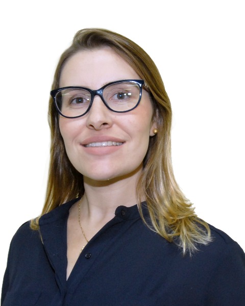
Cibele Amaral
Remote Sensing Data Scientist
Earth Lab, Cooperative Institute for Research in Environmental Sciences (CIRES), University of Colorado Boulder
Boulder, United States
Dr. Cibele Hummel do Amaral is a Remote Sensing Data Scientist at Earth Lab Analytics Hub. She is a specialist in different types of remote sensing data collection and processing, with a strong background in spectroscopy, machine learning applications, and biosphere-geosphere and biosphere-atmosphere interactions.
She received her B.A. in Forest Engineering from the Federal University of Vicosa (UFV), Brazil where she started her research career working with reproductive biology and forest ecology. She received her M.S. in Geoscience from the University of Sao Paulo (USP), Brazil performing land use and cover change mapping and erosion modeling for the planned use of protected areas in southeastern Brazil. She completed a Ph.D. in Geoscience from USP specializing in field and imaging spectroscopy to aid geological delineation in a highly-diverse vegetated area in the Brazilian savanna through indicator tree species mapping. During her doctoral program, she was a short-term visiting scholar in different institutions such as the Queensland Center for Advanced Technologies of the Commonwealth Scientific and Industrial Research Organisation (CSIRO), Australia, and the Visualization & Image Processing for Environmental Research Laboratory of the University of California, Santa Barbara (UCSB), United States. She was a post-doc researcher at the National Institute for Space Researcher (INPE), Brazil studying species-specific phenology in the Amazon through tower-mounted imaging spectroscopy. More recently, she was a visiting researcher scientist at NASA Goddard Space Flight Center (NASA GSFC), United States working with multiple-source remote sensing data and machine learning to understand the drivers of the Caribbean and Gulf of Mexico mangroves’ vulnerability and resilience to tropical cyclones during 25 years of analysis. She also developed some workflows to produce science by using data from the new generation of spaceborne lidar and imaging spectroscopy sensors. She was a professor of Remote Sensing and Geoprocessing in her alma mater (UFV) for six years, teaching classes, mentoring students, and exploring different types of remote sensing data and analytics for forestry, agriculture, and environmental applications, before joining Earth Lab/CIRES.
Presentation(s):
-
INS 7-3 - How does hyperspectral improve our understanding of climate-biodiversity interactions?
Tuesday, August 16, 2022
3:30 PM – 5:00 PM EDT
